Kjerag – Majesty of the Lysefjord
Weather forecast
Hiking to Kjerag
We aim to ensure your hike is safe and enjoyable. This page provides all the information you need about the Kjerag trail and how to prepare for your hiking adventure.

Kjerag Trail Information
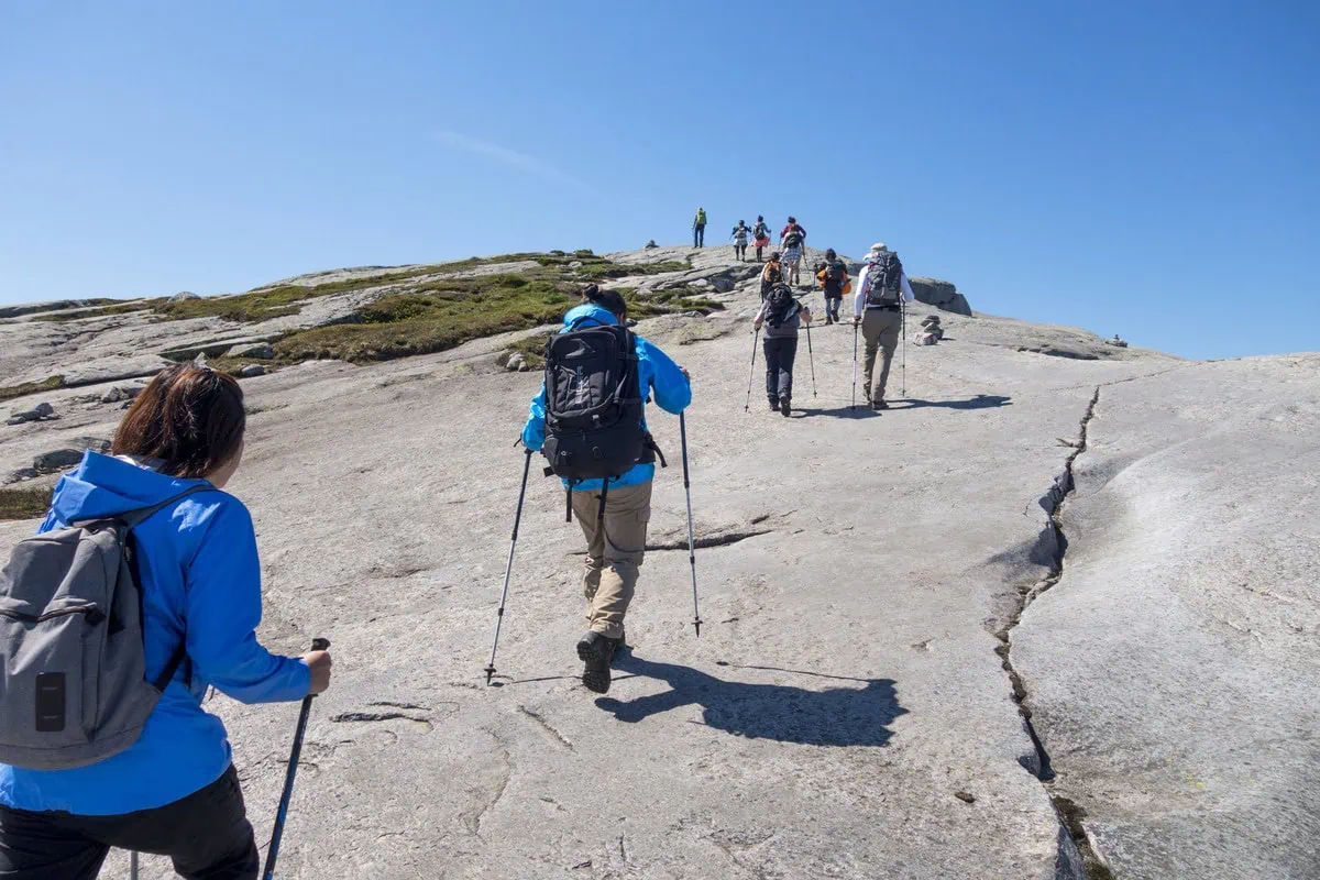
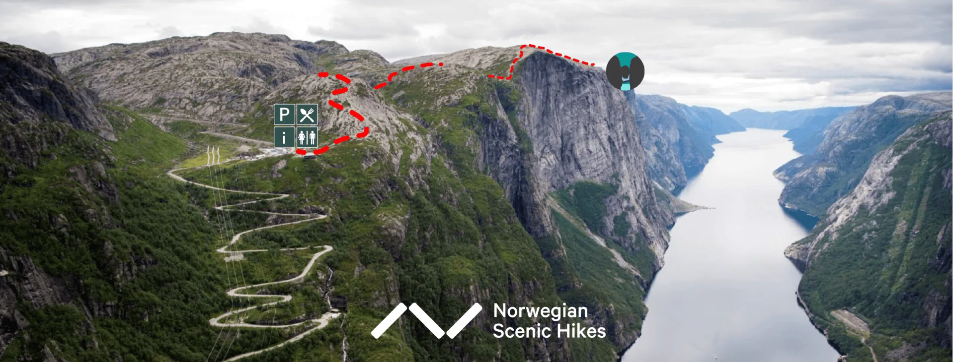
Hikers heading to Kjerag begin their journey from Kjerag Parking at Øygardstøl. Nearby, the Eagle’s Nest restaurant, dramatically perched on a 640-meter-high cliff, offers breathtaking views over Lysebotn. The hike to Kjerag is challenging, covering 5.5 kilometers each way with an elevation gain of 750 meters, typically taking 2.5 to 3 hours one way. The two main highlights at the Kjerag Plateau are Nesatindane viewpoint and Kjeragbolten.
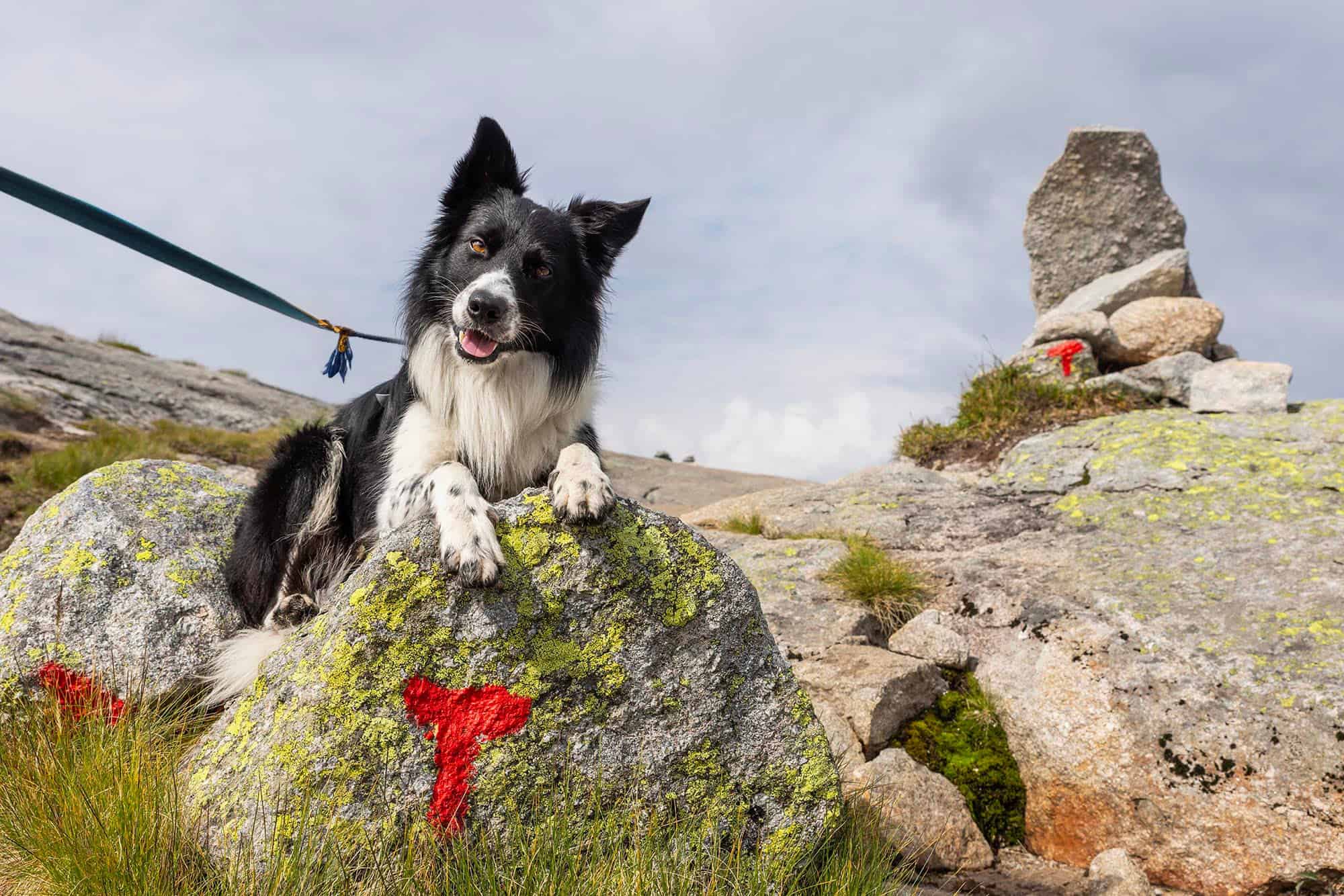
The trail is marked with red “T”s, the well-known symbol of the Norwegian Trekking Association (DNT). To assist hikers, parts of the trail have been paved with stones, and safety chains and railings are in place along more difficult sections. Hikers are strongly encouraged to stay on the marked path for safety and to protect the surrounding environment.
Daily Trail Updates
At Kjerag Parking, we operate a tourist information office to assist hikers and all visitors to the area. We offer advice on hiking to Kjerag, provide trail condition updates, and help with travel in and around the Lysefjord. During the season (May-October), we post daily weather and trail updates on our Facebook page. You can also reach us by email or phone for further assistance.

(+47) 40 30 68 65
It is also possible to download our Kjerag Map + Info in pdf format.
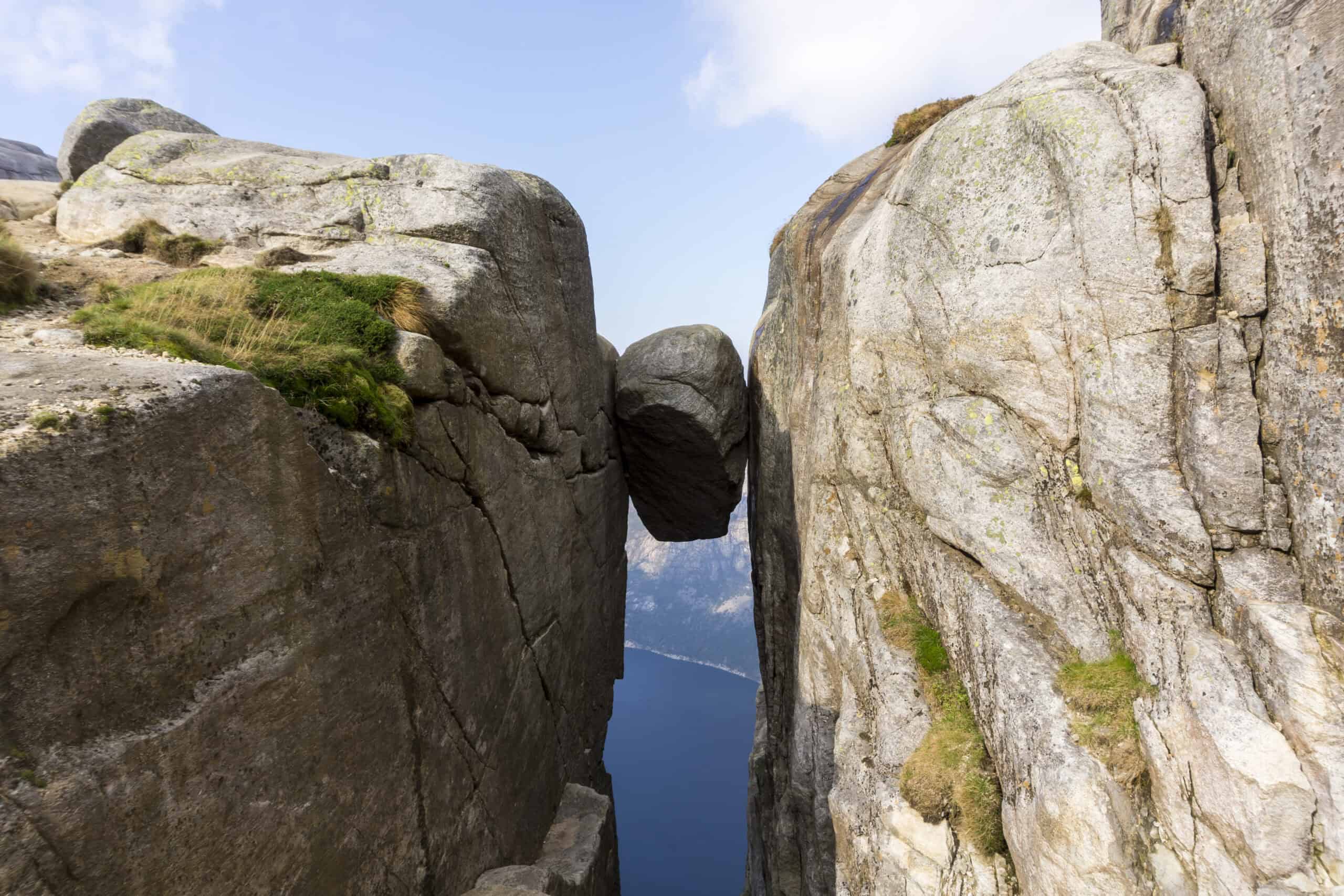
Kjeragbolten
Nesatindane
Equipment Rental
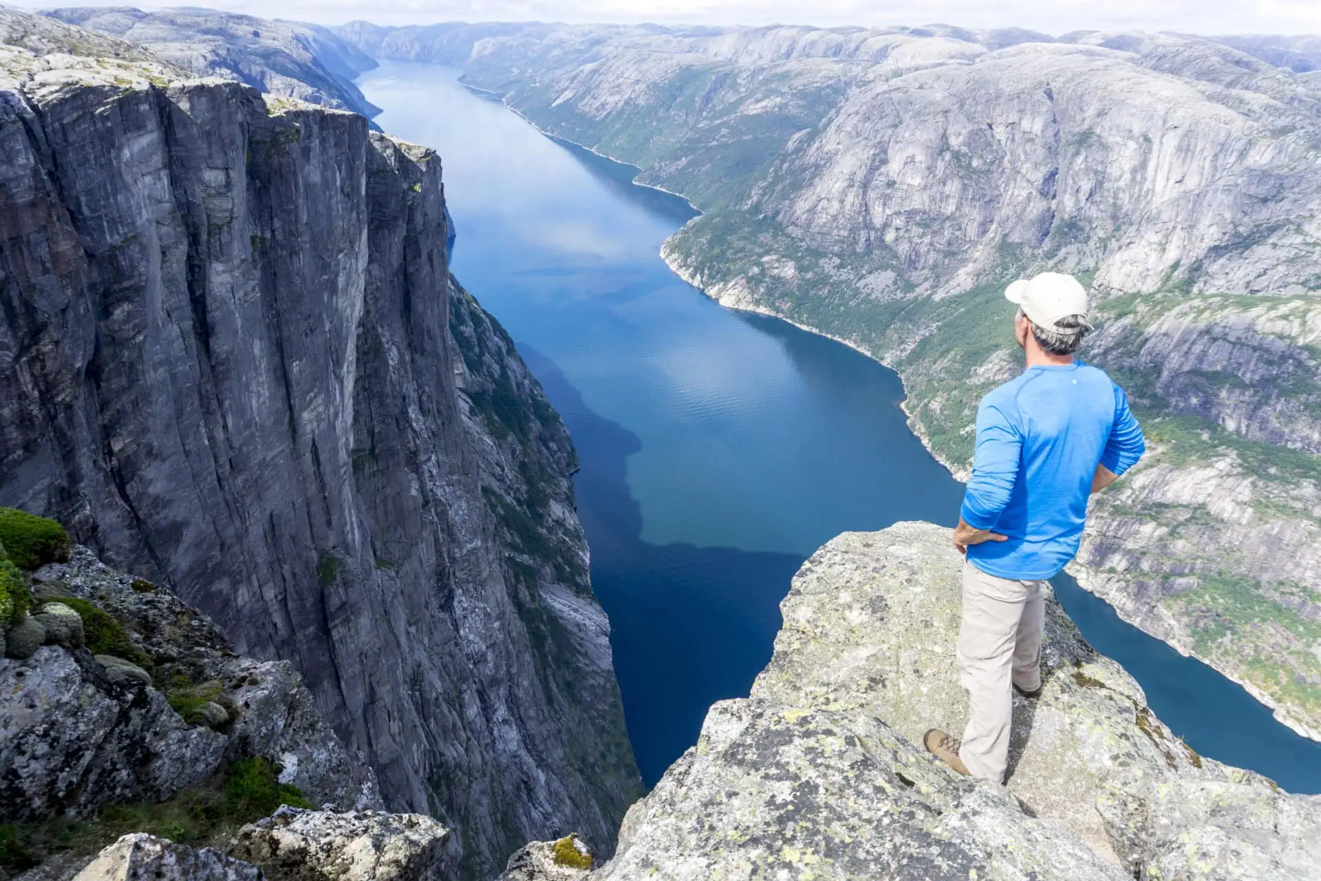
For your convenience and safety, we rent out the following equipment at Kjerag Parking:
- Hiking poles (75 NOK)
- Hiking jackets (150 NOK)
- Hiking pants (150 NOK)
- Hiking boots (250 NOK)
It is also possible to purchase hats, gloves and head lamps.
Is it safe to stand on the boulder?
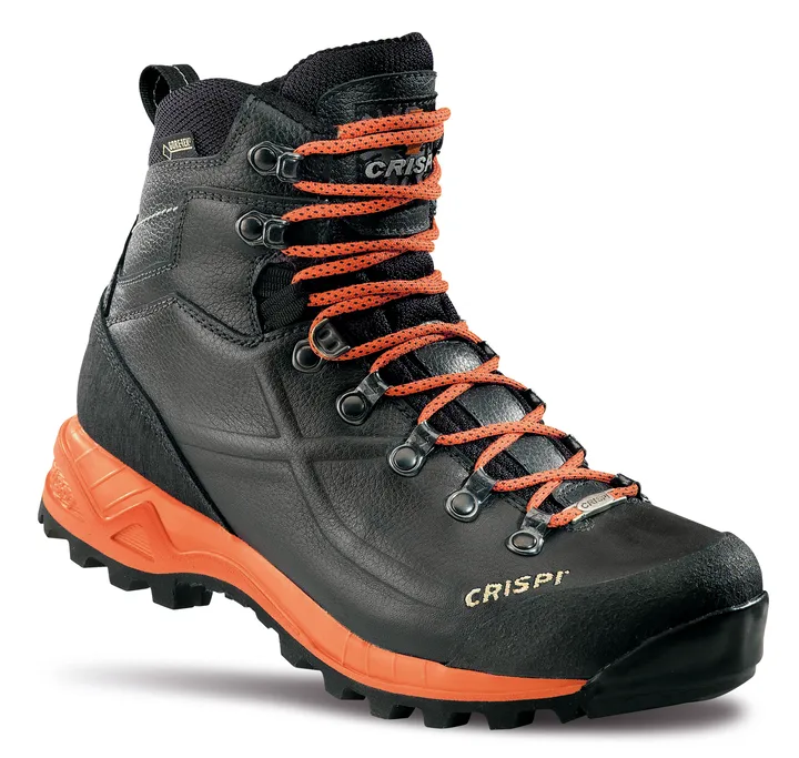
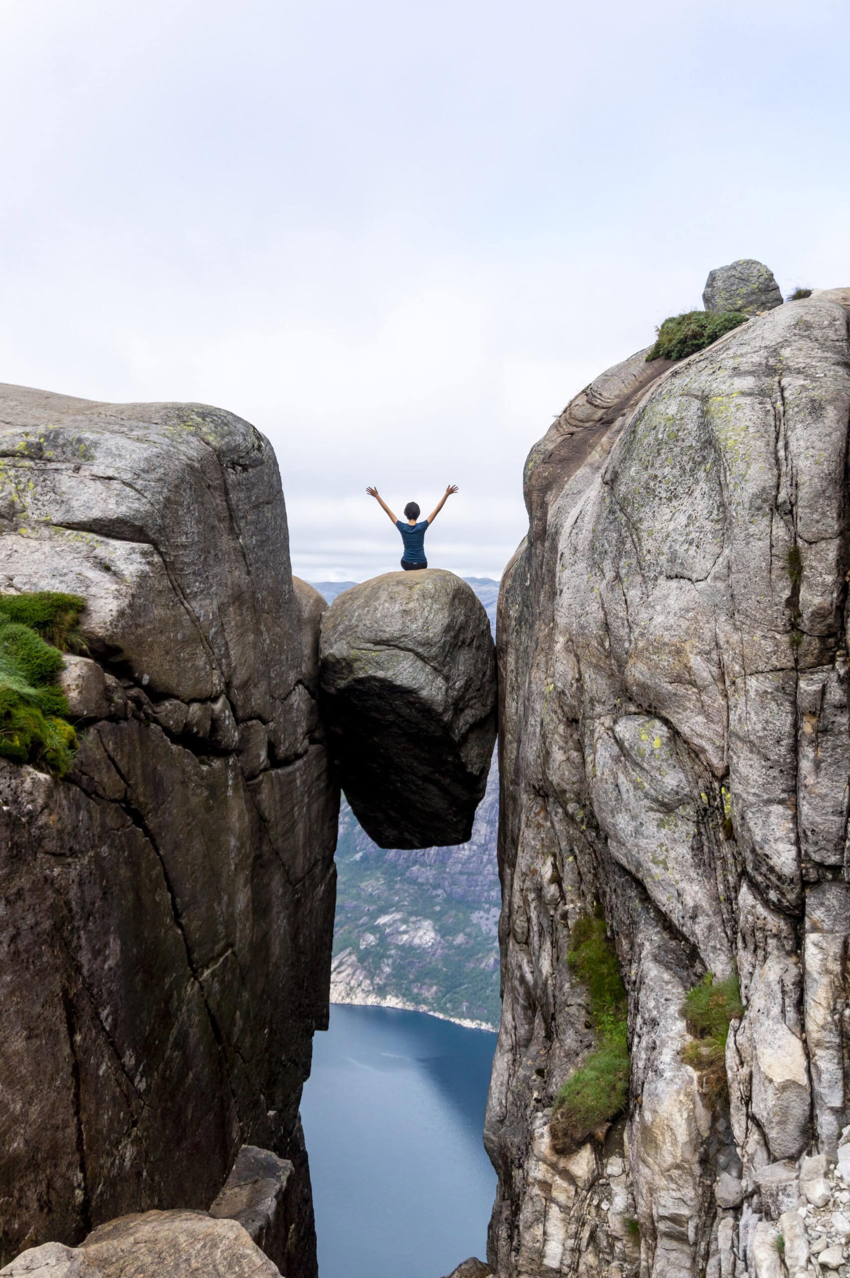
As far as we know, no one has ever fallen off Kjerag’s Boulder. Statistically, it’s safer than driving a car—likely because the risks are so obvious.
A slip from the boulder would be fatal.
Going out on the boulder is entirely at your own risk and should be your decision alone. Around 45% of hikers choose not to stand on the boulder, so don’t feel pressured if you’re uncomfortable.
You should avoid going out on the boulder if:
- You have any form of vertigo
- The rock is slippery from rain, snow, or ice
- It’s very windy
Never run or jump when getting on or off the boulder. If you start to panic, try to stay calm while on the boulder.
Nesatindane – great alternative viewpoint
Nesatindane is a fantastic alternative to Kjeragbolten, offering even better views without the need to step out onto a precarious boulder. The panoramic view from Nesatindane is unmatched, making it a must-visit for those who prefer to avoid the heights of Kjeragbolten.
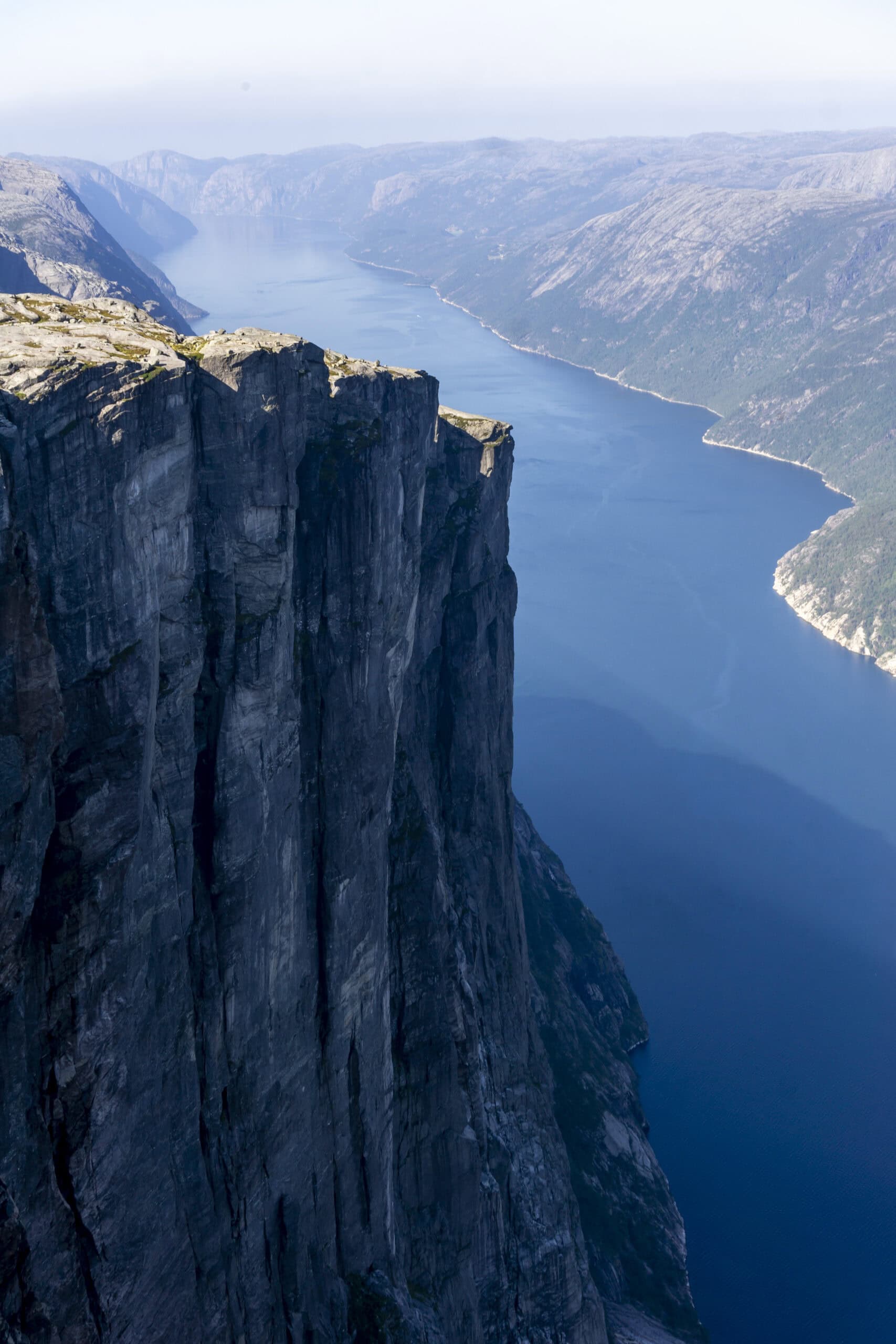
Just a 5-minute walk from Kjeragbolten, Nesatindane provides breathtaking views of the Lysefjord and the surrounding mountain ranges. From here, you can see the entire stretch of the fjord from Lysebotn to Preikestolen, as well as the rugged mountains to the northeast.
To reach Nesatindane, take the side trail approximately 300 meters before Kjeragbolten (see map). Be cautious of the deep crevasses in the mountain as you approach the viewpoint.
At Nesatindane, it’s important to stay well back from the edge and avoid taking unnecessary risks. If you’re lucky, you might spot base jumpers launching from the opposite cliffs. Kjerag is renowned as a top destination for base jumping. According to legend, large rockfalls from Kjerag created the peninsula known as Geitaneset, now a landing site for jumpers, visible only from Nesatindane, not from Kjeragbolten.
Kjerag – When to go?
The road to the Kjerag trailhead is open from late May through October, with parking and tourist information available in this period. Keep in mind that weather and trail conditions can vary greatly throughout the seasons, from day to day, and even during the day. Be sure to adjust your preparations and bring the appropriate gear for the time of your visit.
Peak-season months
June, July, and August are the peak season months, attracting visitors from around the world to our region. During these months, the days are long, and the weather is often favorable. On sunny weekends, the trail to Kjerag can become busy, with some crowding and possible waiting times at the boulder.
Our parking facility has ample space and rarely fills up. While we recommend starting your hike early, it’s even more crucial to plan your hike according to the weather and daylight hours, given the trail’s length and difficulty.
Off-Season Hiking Preparation
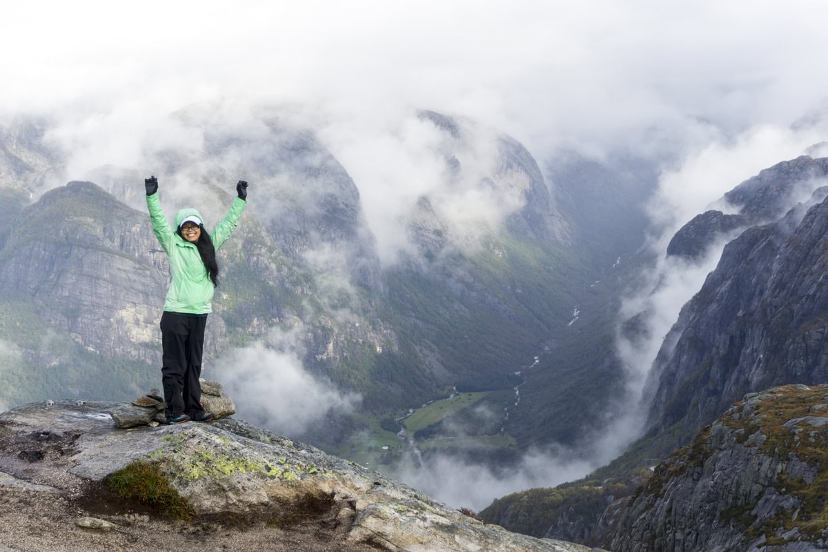
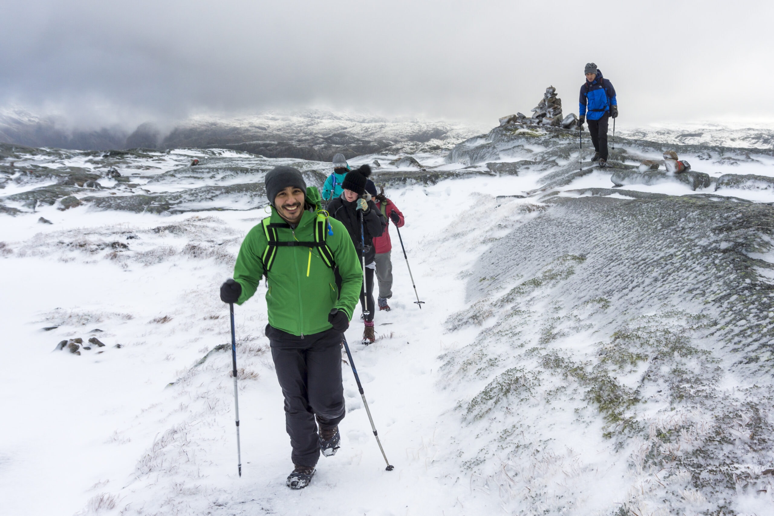
Kjerag’s unique climate is about 10 degrees colder than Stavanger, with stronger winds making conditions tougher. Snow can linger until mid-June and return as early as late September, so be prepared with warmer clothing, gloves, and a hat. Rain can make the steep granite slopes slippery, so sturdy hiking boots and waterproof gear are essential.
Outside peak season or for less experienced hikers, consider joining a guided tour to ensure a safe and well-prepared hike. A local guide can also enhance your experience and help you make the most of your visit.
The table below can give you a good sense of the abundance of hikers at Kjerag, average temperature, rain and sunshine throughout the year.
| Month | Hiking Crowds | Average Temperature at the Top |
Rainy Days |
Daily Hours of Sunshine |
Don’t start the hike after: |
| January | Road closed | -8°C / 18°F | 22 | 1 | N/A |
| February | Road closed | -8°C / 18°F | 20 | 3 | N/A |
| March | Road closed | -5°C / 23°F | 18 | 5 | N/A |
| April | Road closed | -3°C / 27°F | 17 | 6 | N/A |
| May |
Road normally opens May 20 |
1°C / 34°F Expect snow on the trail |
17 | 7 | 3:00 pm |
| June |
5°C / 41°F Expect snow on the trail |
17 | 8 | 4:00 pm | |
| July | 6°C / 43°F | 18 | 7 | 4:00 pm | |
| August | 6°C / 43°F | 21 | 6 | 3:00 pm | |
| September | 3°C / 37°F | 24 | 4 | 1:00 pm | |
| October |
0°C / 32°F Expect snow on the trail |
24 | 3 | 12:00 pm | |
| November | Road closed | -4°C / 25°F | 26 | 1 | N/A |
| December | Road closed | -7°C / 19°F | 24 | 1 | N/A |
Preparations and Safety
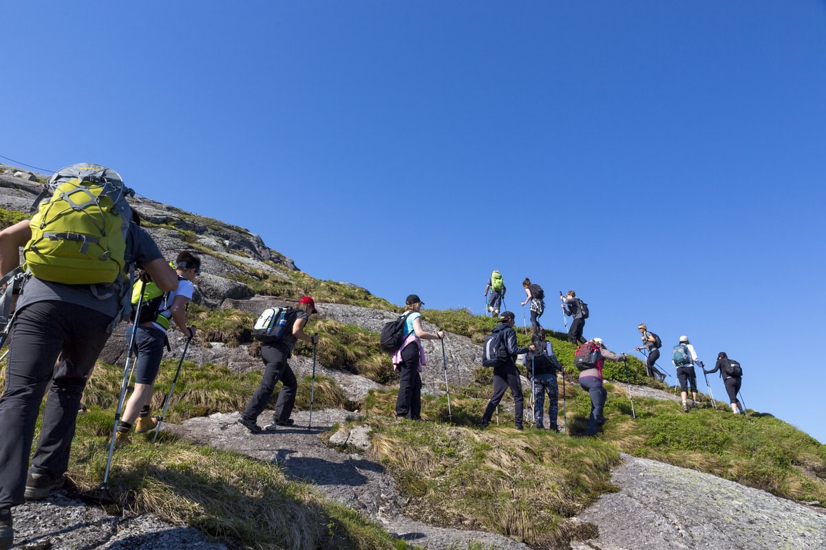
Hiking to Kjerag is an incredible experience, but preparation and safety precautions are key.
Always inform someone of your hiking plans and expected return time. The staffed parking facilities at the trailhead are a great resource—ask the staff about current conditions and heed their advice, especially regarding proper gear.
Parts of the trail run alongside high cliffs, so exercise caution, especially with children. Due to the trail’s difficulty and challenging weather, we generally don’t recommend carrying children in carriers at Kjerag, as they cool down faster than active hikers.
In general, we advise against hiking with children under 8. Kids should be used to steep terrain, and it’s important they stay safe and enjoy the hike. Be ready to turn back if needed!
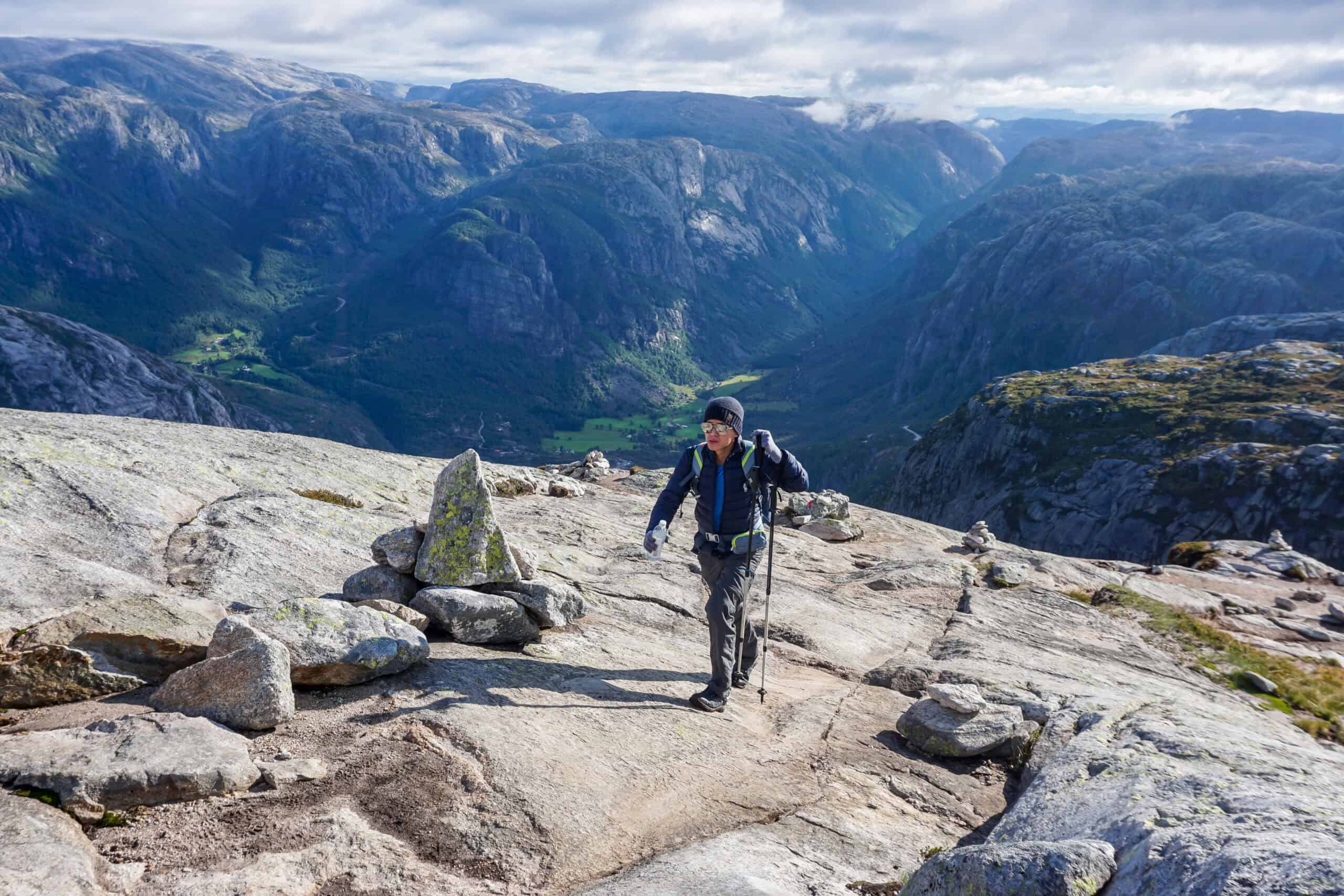
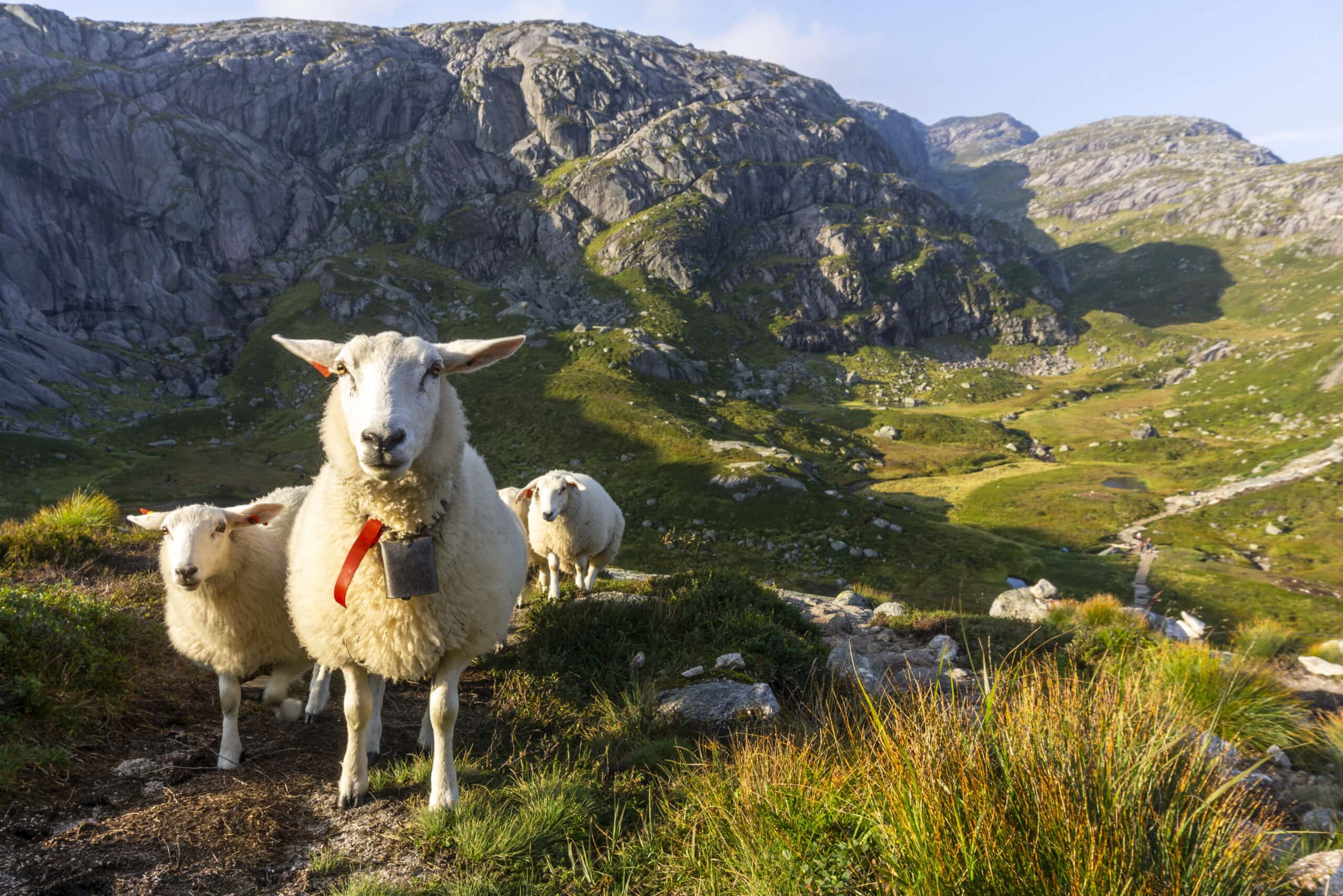
The Kjerag trail passes through a traditional grazing area for local sheep. To ensure their well-being, please avoid disturbing or frightening the sheep. Feeding them is strictly prohibited as it can make them ill.
Sheep are particularly sensitive to the presence of dogs and may become stressed, which could lead to dangerous situations, such as running off cliffs. For the safety of the sheep, wildlife, and other hikers, it is essential that your dog remains on a leash at all times while on the trail.
If you’re considering bringing your dog along, please ensure it is fit and accustomed to long mountain hikes. You know your dog’s abilities best, but keep in mind that the terrain is steep and can be slippery. For small or older dogs, the hike may be too challenging, and carrying your dog is not recommended.
Additionally, please be aware that some fellow hikers may feel uncomfortable around dogs.
In the video below, we share tips on how to get ready for your hike.
Emergency
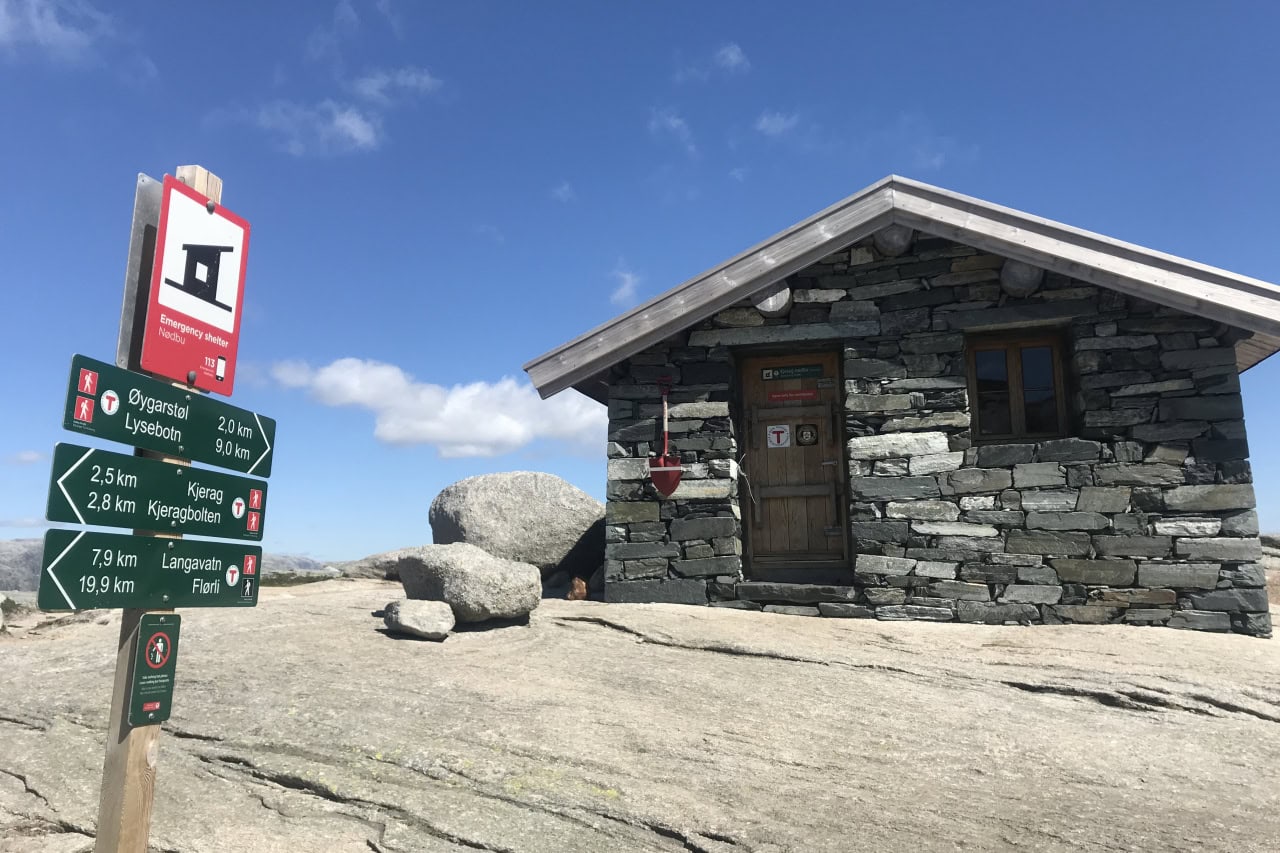
Hiking to Kjerag is at your own risk. While the trail is well-marked, there’s always a chance of accidents or sudden illness.
In case of emergency, dial 113. Phone coverage is available on the slopes and tops of the three hills, as well as at the Nesatinden viewpoint. However, coverage is poor or nonexistent at Kjerag Boulder, parts of the plateau, and in the valleys.
An emergency shelter is located on top of Hill 2. This is for emergencies only and can not be used for accommodation or breaks.
Sustainability
Kjerag is part of the Lysefjord, marked as a Sustainable Destination. We want to encourage you to enjoy your hike, while also respecting the environment.
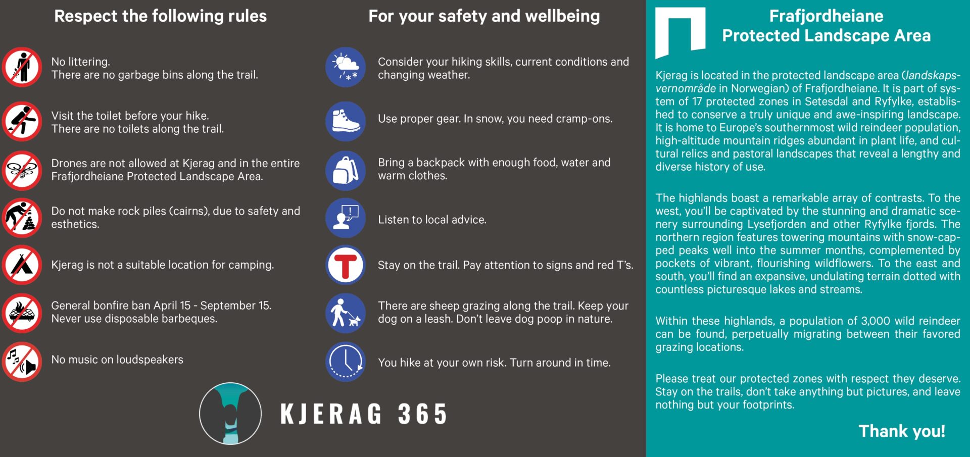
- There are no toilets along the trail.
Please remember to use the toilet facilities at the parking lot before starting your hike. Don’t leave any sanitary products or toilet paper. - Do not leave any garbage behind. Carry it with you until you can dispose of it properly in the bins provided at the parking lot.
Let’s all work together to keep Kjerag clean and beautiful for future visitors to enjoy. Please follow the “leave no trace” principle and leave nothing but footprints.
Thank you for your cooperation and have a great hike!


